Skip to content
Midlands Aerial Surveys

Services

Our services


Every instruction is quoted as a fixed figure against a defined deliverable, agreed in writing before we attend.

Agriculture


Whole-holding mapping, building and roof inspection, and dated records of boundaries, tracks and drainage for farms, estates and the people who advise them.

View service

Insurance


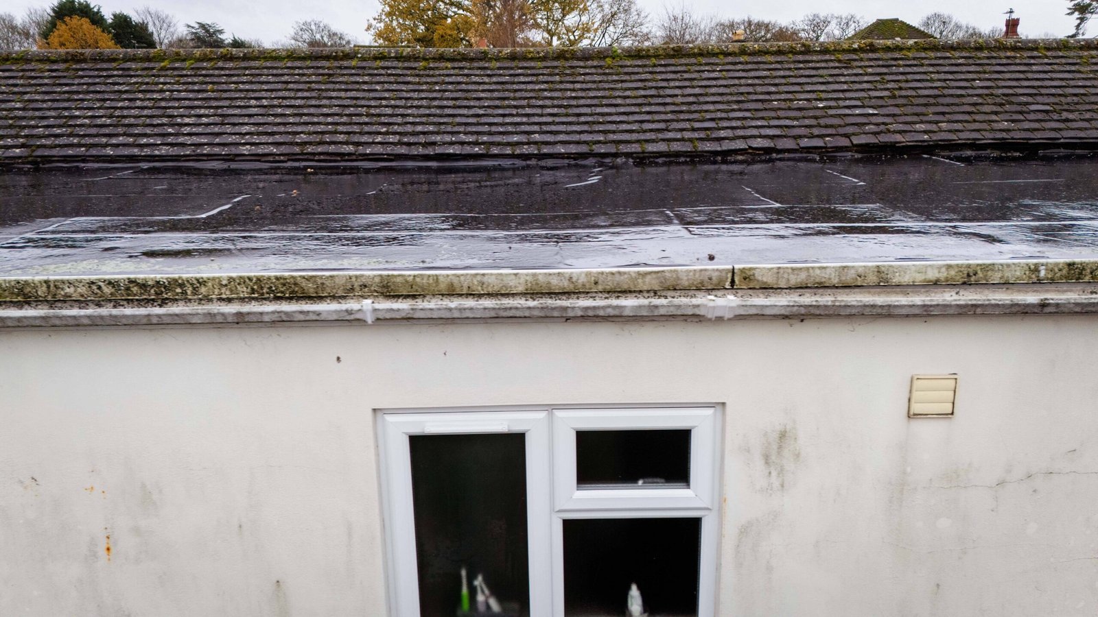
Dated, close-range photographic evidence of roofs, elevations and sites for loss adjusters, insurers, brokers and policyholders — without scaffold or a cherry picker.

View service

Drone Services


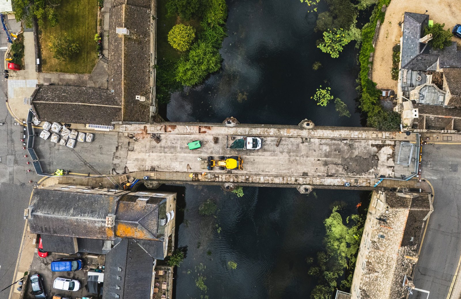
Visual survey and inspection work flown from the air: roofs, elevations, structures and land, recorded at full resolution without scaffold, ladders or a cherry picker.

View service

Construction Services


Photography and repeat capture for live construction sites: progress records, marketing imagery, and inspection of the assets on and around the site.

View service

Tell us about the site and we will take it from there

A site postcode and a sentence about what you need is enough to get started.

Get in touch

Get in touch


Provide a site postcode or boundary and a short description of the required output. We will confirm the deliverables, level of detail.

  • A site postcode is sufficient to price most instructions
  • Written quotation, in most cases the same working day
  • Deliverables and formats agreed at instruction

info@midlandsaerialsurveys.co.uk

Stamford, Lincolnshire